Arrowtown Chinese Settlement
OpenChecked 14 Nov 2026
- Time
- Under 1 hat your own pace
- Distance
- Not published
- Grade
- Wheelchair accessible short walkDOC's grade
- In winter
- Good
Highest on the line418 mat 0.21 km
Shaded: the steepest kilometre, 1 in 12. Drag along the profile to follow the track on the map.
How this line was drawn
Heights from LINZ 8 m elevation data (CC BY 4.0) along the OpenStreetMap track line. LINZ interpolated them from 20 m contours, so they are good to about 10 m.
Starts atMain track entrance at the top of Buckingham Street, beside Bush Creek
Directions (opens in a new tab)BusRoute 2 and Route 4 at Ramshaw Lane, 47, about 350 m from the start
Bus times
Track line and lake outlines © OpenStreetMap contributors (ODbL). Contours from LINZ 8 m elevation data (CC BY 4.0).
In short: The Arrowtown Chinese Settlement is a DOC wheelchair-accessible short walk through the restored huts and Ah Lum's store of the 1880s Chinese goldminers, on Bush Creek at the top of Buckingham Street. DOC puts it under 1 hour at your own pace; dogs must be on a lead.
About this walk
A short DOC heritage walk through the partly restored huts and store of Arrowtown's Chinese goldminers, on the flats beside Bush Creek.
By Queenstown Pocket · Published 15 Sept 2026
Take this walk with you
All 50 walk guides with the track map, offline, and every Orbus bus time.
 On a laptop?
Scan with your phone.
The facts in full
- Time
- Under 1 hour, at your own pace
- Distance
- Not published
- Track type
- Short stroll
- Grade
- Wheelchair accessible short walk
- Surface
- Old dray track through the centre; DOC says the side tracks' gradient and surface make them unsuitable for wheelchairs
- Winter
- Good in winter
- Dogs
- Dogs on a lead
- Toilets
- Council toilets, including an accessible one, at the Bush Creek Recreation Reserve car park beside the settlement
- Buggies and wheelchairs
- Buggy friendly. Wheelchair accessible
- Children
- DOC's wheelchair-accessible grade is for people of all abilities; keep buggies on the main dray track
- Cost
- Not published
What the track is like
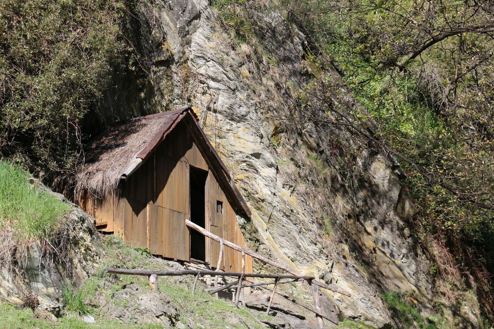
Five reconstructed huts, the restored store last run by Ah Lum, four corner posts marking where Su Sing's store stood, and panels in English and Chinese on the lives of the Chinese goldminers. DOC lists it as a Tohu Whenua heritage site.
The main walk follows the old dray track through the middle of the settlement, from the main entrance near the top of Buckingham Street to the western end. DOC rates that section suitable for wheelchairs and buggies. Side tracks lead off it to individual huts, but DOC says they are not suitable for wheelchairs because of their gradient and surface.
Ah Lum's store sits on a terrace on the left about 100 m down the hill from Buckingham Street, and the main settlement is behind it on the flats among willows, poplars and hawthorns. DOC publishes no distance; its track records put the walk at under an hour, and its page simply says to take it at your leisure.
By 1885 the settlement had about 10 huts, a large social hall and at least two stores, according to DOC. The site was excavated in December 1983, the hut sites stabilised and five huts rebuilt. DOC's history notes that many of the miners came from the Guangzhou delta and faced harassment and discrimination; the panels cover who the miners were and daily life in the settlement.
The settlement is also a starting point for longer walks: the Arrow Gorge Track and the Bush Creek Track both leave from across the Bush Creek footbridge, and the Arrowtown Millennium Walk starts nearby at Ramshaw Lane.
How to get to the start
Arrowtown is 21 km from central Queenstown, about 25 minutes by car. DOC places the settlement at the top end of Buckingham Street, Arrowtown's main street, beside Bush Creek. The council car park at the Bush Creek Recreation Reserve is next to it, with council toilets that include an accessible cubicle.
Orbus Routes 2 and 4 stop at Arrowtown (Ramshaw Lane), about 370 m from the main entrance, for $2.50 with a Bee Card.
- Start: Main track entrance at the top of Buckingham Street, beside Bush Creek (directions (opens in a new tab)).
- Parking: Council car park at the Bush Creek Recreation Reserve, top of Buckingham Street (55 spaces in council data)
- From Queenstown: Arrowtown is 21 km and about 25 minutes by car from central Queenstown
- By bus: Orbus Routes 2 and 4 stop at Arrowtown (Ramshaw Lane), about 370 m from the settlement's main entrance. Routes and fares are in the bus guide.
Is it open, and what is it like in winter?
Open on 14 November 2026. DOC shows no alerts for the Arrowtown Chinese Settlement on 14 November 2026, and its track records list the walk as open. Check DOC, Arrowtown Chinese Settlement (alerts on the page) (opens in a new tab) on the day; conditions change quickly.
| Season | What to expect |
|---|---|
| Spring (September to November) | DOC lists no seasonal closure. After rain, keep to the main dray track; DOC says the side tracks are not wheelchair suitable because of their gradient and surface. |
| Summer (December to February) | The huts sit among willows, poplars and hawthorns on the flats by Bush Creek, and DOC notes a popular picnic area where Bush Creek meets the Arrow River, down the hill from Buckingham Street. |
| Autumn (March to May) | Autumn is when Arrowtown's trees turn, including the willows and poplars DOC describes around the huts. |
| Winter (June to August) | On DOC's grade the main track is even and well formed, so it works on a cold day. The creek flats can hold frost, so take care on the side tracks. |
What to know before you go
- Wheelchair and buggy users should stay on the main dray track: DOC says the side tracks are not suitable because of their gradient and surface.
- Bush Creek meets the Arrow River a short way down Buckingham Street from the settlement, and DOC notes the Arrow can rise rapidly in rain; keep children close by the water.
- The creek flats can hold frost on winter mornings; take care on the side tracks.
- Dogs must be on a lead (DOC).
- Check the alerts on DOC's settlement page before you go; none were listed on 14 November 2026.
For emergencies call 111. The Queenstown safety guide covers the rest before a long or winter walk.
Questions people ask
How long does the Arrowtown Chinese Settlement walk take?
DOC's track records put it under 1 hour, and DOC's page says to take it at your leisure. No distance is published.
Is the Arrowtown Chinese Settlement wheelchair and pram accessible?
Yes on the main walk: DOC says the old dray track through the centre suits wheelchairs and buggies. The side tracks do not, because of their gradient and surface.
Where is the Chinese Settlement, and where do I park?
At the top end of Buckingham Street beside Bush Creek. The council car park at the Bush Creek Recreation Reserve is next to it, with toilets including an accessible one.
Can I get to the Arrowtown Chinese Settlement by bus?
Yes. Orbus Routes 2 and 4 stop at Arrowtown (Ramshaw Lane), about 370 m from the main entrance, for $2.50 with a Bee Card.
Are dogs allowed at the Arrowtown Chinese Settlement?
Yes, on a lead only, according to DOC.
Is the Chinese Settlement open right now?
Yes. DOC showed no alerts for it on 14 November 2026 and lists the walk as open.
Nearby walks
Get the app
Queenstown Pocket carries all 50 walk guides with the track map, the bus stop and the toilets, offline.
Related guides
 Getting around
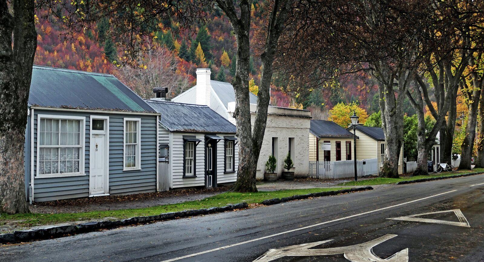
Queenstown to Arrowtown by bus: $2.50 on Route 4 or Route 2
Route 4 from town, Route 2 from Frankton, $2.50 with a Bee Card, and the last bus back.Checked 16 Nov 2026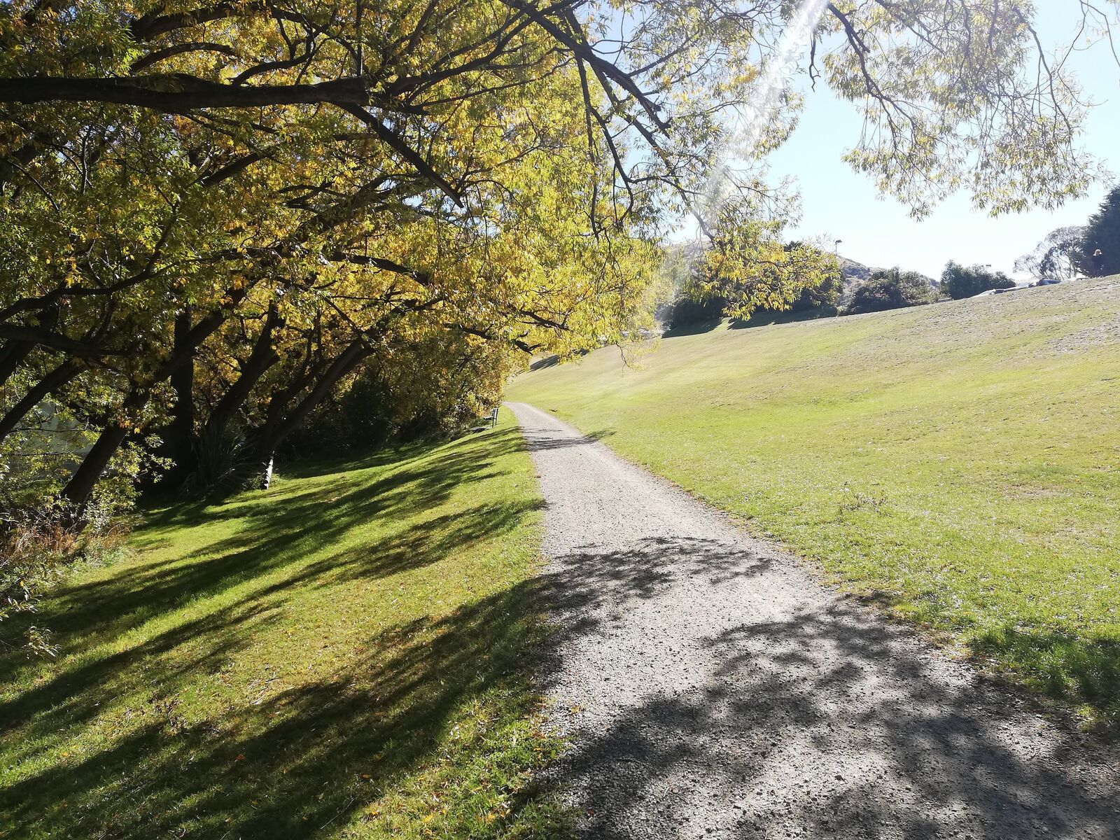 Walks & trails
The Queenstown Trail, section by section
Ten sections, over 200 km, with the Trails Trust's distances, grades and times, and the $2.50 bus back from each end.Checked 12 Nov 2026 Planning
Queenstown safety: the numbers, the hills, the roads and the lake
111 and 105, the Land Safety Code, chains, the 10-degree lake, and why ACC is not travel insurance.Checked 9 Sep 2026
Photographs are credited on each guide and on the photo credits page.
Sources: DOC, Arrowtown Chinese Settlement (opens in a new tab), DOC, Queenstown day walks and bike trails brochure (March 2025), 16. Arrowtown Chinese Settlement (opens in a new tab), DOC, Arrowtown area (alerts) (opens in a new tab), Queenstown Lakes District Council, parks assets data: reserve car parks (opens in a new tab), Queenstown Lakes District Council, parks assets data: toilets (opens in a new tab), Otago Regional Council, Orbus GTFS timetable feed (feed 260408-1230) (opens in a new tab) and Queenstown Pocket, Queenstown drive times (opens in a new tab), retrieved 14 November 2026. Distances, times and grades are the managing body's published figures; fit walkers are often quicker. Department of Conservation information is used under CC BY 4.0. This independent guide is published by Tally Sphere Limited, a New Zealand company. Spotted a change? Report a problem with this page and the page address comes with your email.
All walks: Queenstown walks and tracks.