Queenstown Gardens
OpenChecked 12 Oct 2026
- Time
- 40 min
- Distance
- 2 kmloop
- Grade
- Easy short walkDOC's grade
- In winter
- Good
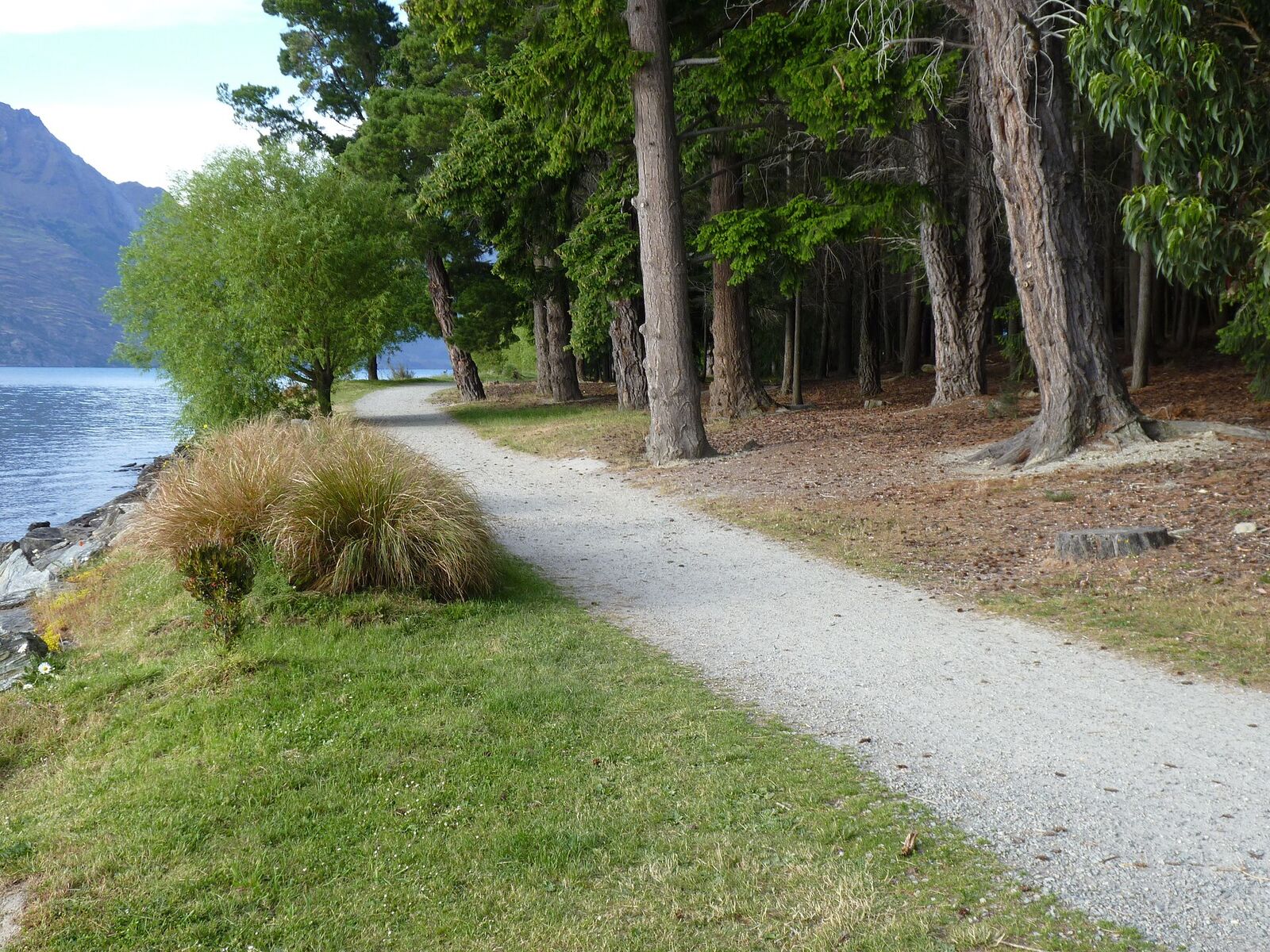
The lakeside path around the Queenstown Gardens peninsula, December 2014.
No track line is published for this walk, so there is no route map or height profile here.
Starts atQueenstown lakefront, Marine Parade
Directions (opens in a new tab)BusThe ferry at QTN Bay, about 250 m from the start
Bus times
In short: The Queenstown Gardens loop is a 2 km, 40-minute walk around the small peninsula beside the town centre, starting on the lakefront at Marine Parade. DOC's brochure grades it an easy short walk. It is flat and free, dogs must be on a lead, and the path is shared with bikes.
About this walk
A flat lakeside loop around the peninsula next to the town centre, past the rose garden, the frisbee golf course and the playground, with views across Lake Wakatipu.
By Queenstown Pocket · Published 15 Sept 2026
Take this walk with you
All 50 walk guides with the track map, offline, and every Orbus bus time.
 On a laptop?
Scan with your phone.
The facts in full
- Time
- 40 minutes
- Distance
- 2 km loop
- Track type
- Loop
- Grade
- Easy short walk
- Winter
- Good in winter
- Dogs
- Dogs on a lead
- Bikes
- Shared with bikes
- Children
- Flat, with a playground on the Marine Parade side and a skate park by Park Street (DOC)
- Cost
- Free
What the track is like
Views across Lake Wakatipu to the Kelvin Peninsula, Cecil Peak and Walter Peak, the rose garden and mature trees, the frisbee golf course, and memorials to Robert Falcon Scott and William Gilbert Rees inside gardens established in 1866.
Start on the lakefront at Marine Parade, beside Queenstown Bay Beach, and follow the path onto the peninsula. DOC's brochure puts the full loop at 2 km and 40 minutes; Destination Queenstown's listing gives the same distance and 30 minutes. The Queenstown Trails Trust says the path around the edge of the Gardens is completely flat and follows the lake.
Inside the loop are lawns and benches, the rose garden, the frisbee golf course, bowls and tennis. DOC notes a children's playground on the Marine Parade side and a skate park by Park Street. Dogs must be on a lead and the path is shared with bikes at DOC's Grade 2 (easy), so keep left and let riders pass on the right.
To shorten it, cut across the peninsula along Park Street and walk back to town. To lengthen it, carry on from the Gardens along the lake on the Frankton Track toward Frankton, but note the Trust has a detour onto the Frankton Road footpath in place throughout 2026.
How to get to the start
The loop starts on the lakefront at Marine Parade, beside the town centre, so most people walk to it. Orbus Routes 4 and 5 stop at Stanley Street Bus Hub C (Courthouse), about 300 m from the start, and Routes 1, 4 and 5 stop at Blue Peaks, about 300 m away; bus fares are $2.50 with a Bee Card. The Orbus ferry stops at Queenstown Bay, about 250 m from the start.
- Start: Queenstown lakefront, Marine Parade (directions (opens in a new tab)).
- From Queenstown: Beside the town centre, on the lakefront (DOC)
- By bus: Orbus Routes 4 and 5 stop at Stanley Street Bus Hub C (Courthouse), about 300 m from the Marine Parade start, and the Orbus ferry uses the Queenstown Bay stop about 250 m away. Routes and fares are in the bus guide.
Is it open, and what is it like in winter?
Open on 12 October 2026. The Queenstown Trails Trust's trail conditions page lists no closure for the Gardens on 12 October 2026. The Frankton Track beyond the Gardens runs on a detour along the sealed Frankton Road footpath throughout 2026 (Trust). The council manages the Gardens, so check its parks and walkways page for works before you go. Check Queenstown Trails Trust, trail conditions, closures and alerts (opens in a new tab) on the day; conditions change quickly.
| Season | What to expect |
|---|---|
| Spring (September to November) | The loop sits at lake level beside the town centre. Expect wet grass and puddles after rain, and check the Frankton Track detour if you plan to carry on toward Frankton. |
| Summer (December to February) | Queenstown Bay Beach, the playground and the frisbee golf course are all on the loop, with shady lawns and benches inside the Gardens for a break on a hot day. |
| Autumn (March to May) | Mature trees line the peninsula (Destination Queenstown), and the loop stays an easy 40 minutes as the evenings shorten. |
| Winter (June to August) | Destination Queenstown rates the walk good all year. Shaded parts of the path can be frosty on still winter mornings, so take care early in the day. |
What to know before you go
- Dogs must be on a lead, and the path is shared with bikes: keep left, and listen for riders coming up behind you.
- Wheelchair and pushchair users: Destination Queenstown lists the loop as wheelchair accessible and ideal for pushchairs. DOC grades it an easy short walk rather than its wheelchair-accessible grade, and that grade allows steps or slopes, so check the route suits you.
- Shaded parts of the path can be frosty on still winter mornings.
- The playground and the beach are right at the water's edge; keep small children within reach.
- The council manages the Gardens: check QLDC's parks and walkways page for closures and works before you go.
For emergencies call 111. The Queenstown safety guide covers the rest before a long or winter walk.
Questions people ask
How long is the Queenstown Gardens walk?
A 2 km loop around the Gardens peninsula. DOC gives 40 minutes; Destination Queenstown's listing says 30 minutes. It starts and finishes on the lakefront at Marine Parade.
Where does the Queenstown Gardens walk start?
On the lakefront at Marine Parade, beside Queenstown Bay Beach and the town centre. Orbus Routes 4 and 5 stop at Stanley Street Bus Hub C, about 300 m away.
Does the Queenstown Gardens trail connect to the Frankton Track?
Yes. The Frankton Track, the lakeside section of the Queenstown Trail, starts at the Gardens on Marine Parade and follows the lake to the Kawarau Falls Bridge at Frankton, so the loop can be the first stretch of a longer walk or ride.
Is the Queenstown Gardens loop wheelchair and pushchair friendly?
Destination Queenstown lists it as wheelchair accessible and ideal for pushchairs. DOC grades it an easy short walk rather than wheelchair accessible, a grade that allows steps or slopes.
Are dogs allowed in the Queenstown Gardens?
Yes, on a lead, according to DOC's brochure and the Queenstown Trails Trust.
Can you bike around the Queenstown Gardens?
Yes. DOC shows the path as a Grade 2 (easy) cycle route shared with walkers, so ride slowly, keep left and give way to people on foot.
Is the Gardens walk OK in winter?
Yes. Destination Queenstown rates it good all year. The loop is at lake level, but shaded parts of the path can be frosty on still winter mornings.
What is there for kids at the Queenstown Gardens?
A playground on the Marine Parade side, a skate park by Park Street and a frisbee golf course, all at the Gardens beside the flat 2 km loop.
Nearby walks
Get the app
Queenstown Pocket carries all 50 walk guides with the track map, the bus stop and the toilets, offline.
Related guides
 Planning
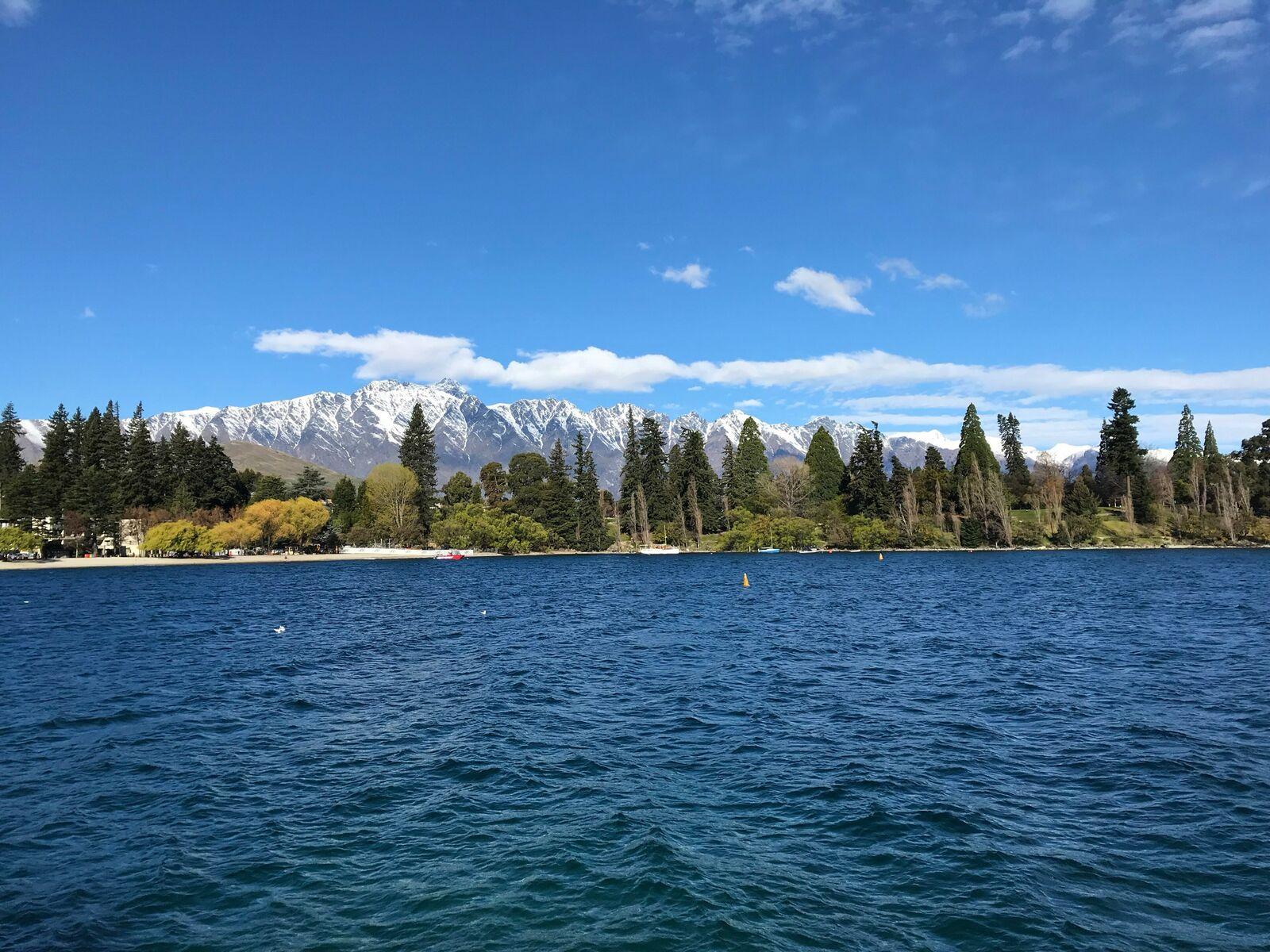
Free things to do in Queenstown
Twelve free things, and the $2.50 bus that gets you to each one.Checked 5 Nov 2026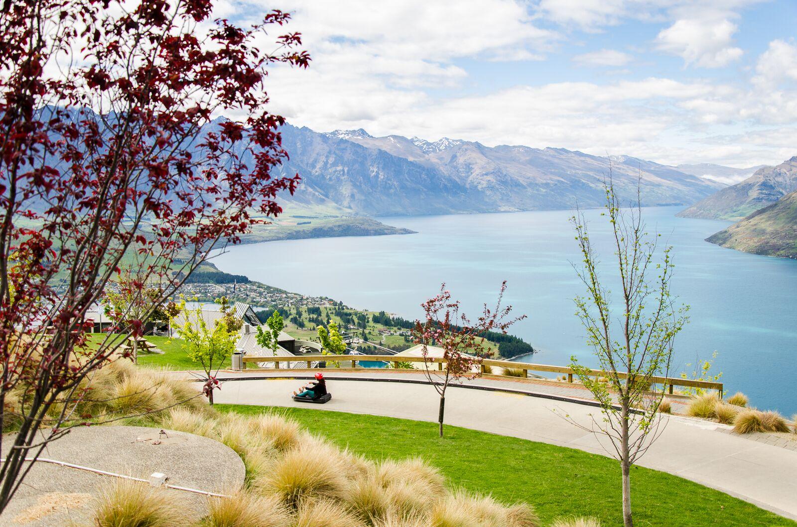 Planning
Queenstown with kids: child prices, the free stuff and the buggy-friendly walks
What the big activities charge for children, the $1.50 bus, the Gardens and the Frankton Track, and the rain plan.Checked 5 Oct 2026 Planning
Queenstown safety: the numbers, the hills, the roads and the lake
111 and 105, the Land Safety Code, chains, the 10-degree lake, and why ACC is not travel insurance.Checked 9 Sep 2026
Photographs are credited on each guide and on the photo credits page.
Sources: DOC, Queenstown day walks and bike trails brochure (March 2025), track 14 and map (opens in a new tab), Destination Queenstown, Queenstown Gardens Trail (opens in a new tab), Queenstown Trails Trust, Queenstown Gardens to Frankton Marina Return (includes the 2026 Frankton Track detour notice) (opens in a new tab) and Queenstown Trails Trust, trail conditions, closures and alerts (opens in a new tab), retrieved 12 October 2026. Distances, times and grades are the managing body's published figures; fit walkers are often quicker. Department of Conservation information is used under CC BY 4.0. Start coordinates: OpenStreetMap contributors (ODbL). This independent guide is published by Tally Sphere Limited, a New Zealand company. Spotted a change? Report a problem with this page and the page address comes with your email.
All walks: Queenstown walks and tracks.