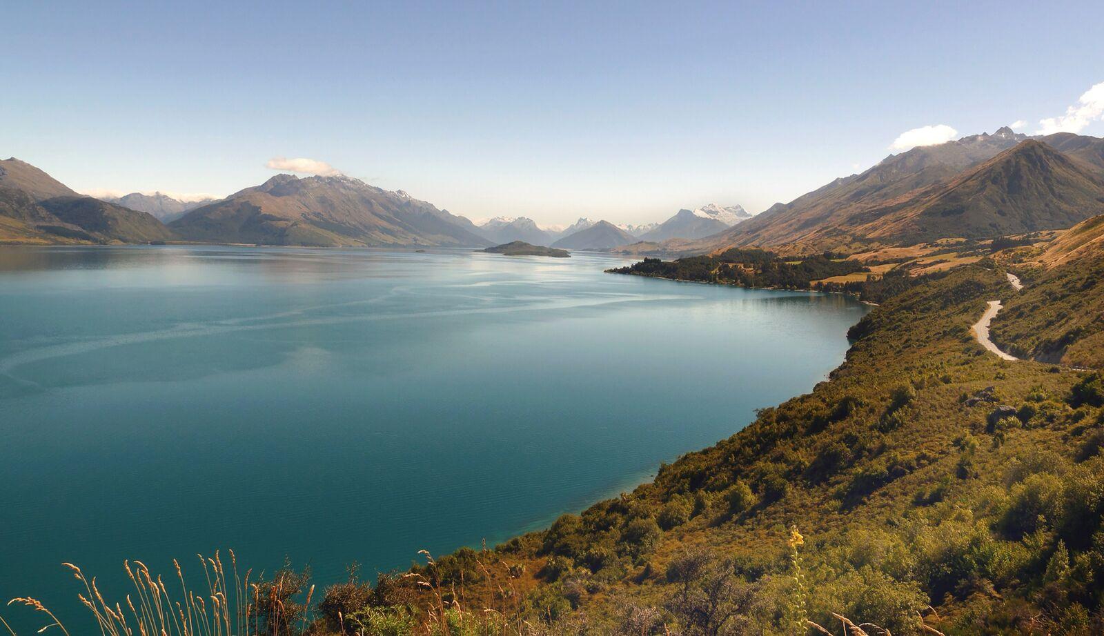
Photo: Bernard Spragg. NZ (opens in a new tab), CC0 (opens in a new tab)
Queenstown to Glenorchy: road, stops and what works offline
Checked 24 Oct 2026Published 4 Sept 2026
In short
Glenorchy is 46 km and 45 minutes to an hour from Queenstown on a sealed, winding lakeside road with no public bus. Rent a car or take a scenic tour; stop at Bob’s Cove (14 km) for the walk and Bennetts Bluff (about 25 km) for the view; and download the map first, because the coverage drops out along the lake.
Take this page with you
This page, the offline map and every Orbus bus time on your phone.
 On a laptop?
Scan with your phone.
- Queenstown to Glenorchy
- 46 km
- Drive without stops
- 45 min–1 h
- Bob's Cove, best short walk
- 14 km
- Bennetts Bluff lookout
- About 25 km
- Track bus adult fare, listed
- $49
- Track bus season
- Nov–Apr
From this guide’s sources, listed at the foot of the page.
About this guide
Forty-six kilometres along the edge of Lake Wakatipu, one road in, no bus, and coverage that comes and goes. Here is how to do it well.
By Queenstown Pocket · Corrected 24 September 2026 · Photograph: Lake Wakatipu from near Bennetts Bluff, with the Glenorchy Road winding along the hillside above the shore, March 2017 (all photo credits)
- By car
- 46 km · 45 min to 1 hGlenorchy-Queenstown Road, sealed and winding, no fuel until Glenorchy
- Without a car
- about 1 h · No public bus. Track-transport shuttles and day tours run from town, mostly in the Great Walks season
The stops, in order from Queenstown
| Stop | From Queenstown | Why |
|---|---|---|
| Sunshine Bay | From Queenstown: 3 km | Why: Pebble beach and the last Orbus stop (Route 1). Everything past here is car or tour. |
| Wilson Bay | From Queenstown: 10 km | Why: Wide lake beach, picnic tables, the first big view back to town. |
| Twelve Mile Delta | From Queenstown: 12 km | Why: DOC campsite; the Mt Crichton loop (6.4 km, 2 to 3 hours, gold-mining history) starts from its own car park close by. |
| Bob's Cove (Punatapu) | From Queenstown: 14 km | Why: DOC track: 1.5 km one way through bush to the cove (20 minutes) and on to Picnic Point (30 minutes), back the same way. Historic lime kiln. |
| Bennetts Bluff lookout | From Queenstown: About 25 km | Why: The postcard: Pig and Pigeon Islands with the head of the lake behind. If you stop once, stop here. |
| Glenorchy wharf and lagoon walkway | From Queenstown: 46 km | Why: The red shed, the wharf, and a flat boardwalk loop through the wetland behind the village. |
| Paradise and the Dart valley | From Queenstown: Beyond Glenorchy | Why: Gravel road past Glenorchy; check conditions, and the road floods after heavy rain. |
Getting there: car, tour or shuttle
Car. The drive is the point. Allow half a day with the stops and fill up in Queenstown; Glenorchy is a village, not a service town. Pull-in bays are marked; use them rather than the verge, and let faster traffic past. Rental cars are compared below, and the car guide covers when renting makes sense for the rest of your trip.
Compare rental cars in Queenstown
Airport desks and local firms side by side, free cancellation on most bookings.
We earn a commission if you book through this link.
Tour. The half-day scenic tour below is the Glenorchy road without the driving: the viewpoints, the film locations at Paradise and the head of the lake, with a local driver doing the pull-ins. Price as returned by the operator on 2026-11-13.
Lord of the Rings Scenic Half Day Tour from Queenstown
4.5 h · 4.9 stars from 1,547 reviews
Total review count and overall rating based on Viator and Tripadvisor reviews
From NZ$219 per person on Viator, price checked 13 November 2026
We earn a commission if you book through this link.
Klook sells a half-day Glenorchy and Paradise tour and the Dart River jet-and-Funyak day as well; prices as klook.com showed them on 2026-11-13.
Glenorchy and Paradise half-day tour
Half day from Queenstown
From NZ$189 per person on Klook, price checked 13 November 2026
We earn a commission if you book through this link.
Dart River jet boat and Funyak, Glenorchy
Full day
From NZ$399 per person on Klook, price checked 13 November 2026
We earn a commission if you book through this link.
Track bus. In the Great Walks season (November to April) Info & Track runs scheduled buses from 37 Shotover Street to Glenorchy at 8:00am and 11:15am, back from Glenorchy at 10:15am and 3:00pm, listed at $49 adult and $35 child one way with a 10 percent adjustment added at checkout; an $85 same-day return package is offered. Bookings are essential and the service needs two passengers to run. Outside the season it is private charter only, from $255 one way. It is a tramper’s bus, not a public one, but it is the only scheduled seat on this road without a tour.
What works offline
- Maps. Download before you leave town. Queenstown Pocket keeps the whole Whakatipu basin, this road included, on the phone.
- Track times. Bob’s Cove is 20 minutes to the cove and 30 to Picnic Point, one way; the Mt Crichton loop is 6.4 km and 2 to 3 hours. Both start from signed DOC car parks, and both have a full page under Walks.
- Weather. The head of the lake makes its own. Check the forecast in Queenstown, not at the wharf.
- Beyond Glenorchy the roads to Paradise and the Rees and Dart valleys are gravel with fords that rise after rain. Rental agreements often exclude them; read yours.
Questions people ask
How far is Glenorchy from Queenstown?
46 km by the Glenorchy-Queenstown Road, the only road there. The Glenorchy community's own figure is 45 minutes to an hour without stops; with the viewpoints it is a comfortable half day.
Is there a bus from Queenstown to Glenorchy?
No public bus; Orbus ends at Sunshine Bay, 3 km out of town. From November to April Info & Track runs a scheduled track bus from 37 Shotover Street (8:00am and 11:15am out, 10:15am and 3:00pm back, listed at $49 adult one way plus a 10 percent checkout adjustment, bookings essential). Otherwise it is a rental car or a scenic tour that includes the stops.
Is the Glenorchy road sealed?
Yes, the road to Glenorchy is sealed the whole way. The roads beyond the village toward Paradise and the Dart and Rees valleys are gravel and can close after heavy rain.
Is there phone coverage on the Glenorchy road?
Expect gaps. Coverage drops in and out along the lake and is limited around the head of the lake. Download an offline map before you leave Queenstown; the Queenstown Pocket app stores the whole basin, including this road, on your phone.
What is the best stop between Queenstown and Glenorchy?
Bennetts Bluff lookout, about 25 km out, for the view over Pig and Pigeon Islands to the head of the lake. Bob's Cove at 14 km is the best short walk.
Is a Glenorchy tour worth it compared with driving?
If you will not have a car anyway, yes: the half-day scenic tour from Queenstown covers the road, the viewpoints and the film locations, and the price on this page is dated. If you have a car, the drive itself is the attraction and costs only fuel.
Get the app
Queenstown Pocket stores the Glenorchy road, Bob's Cove and the Mt Crichton loop on your phone, so the map still works when the signal does not.
Related guides
- Getting around
Queenstown bus routes & fares
All six Orbus routes, the $2.50 airport bus, Bee Card vs cash fares and the ferry.Checked 13 Nov 2026 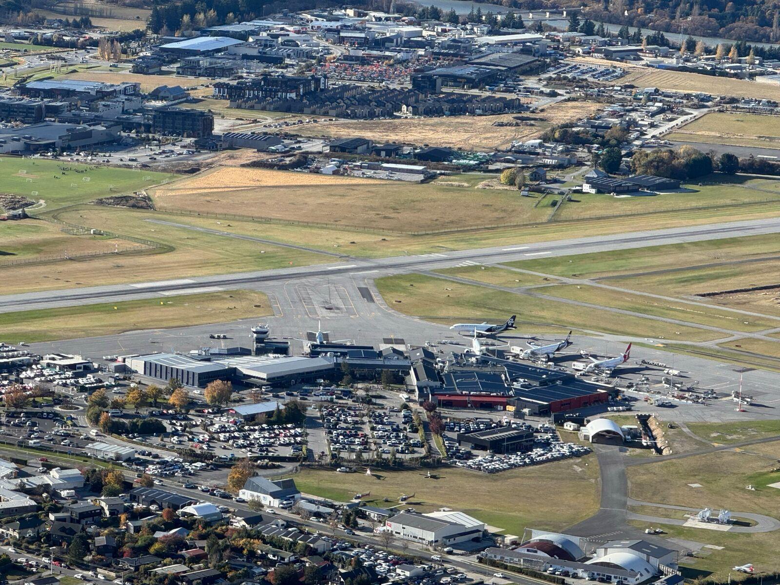 Getting around
Queenstown Airport to town: bus, taxi, shuttle or rental
The $2.50 bus, what a taxi costs, shuttles, and when a rental car makes sense.Checked 13 Nov 2026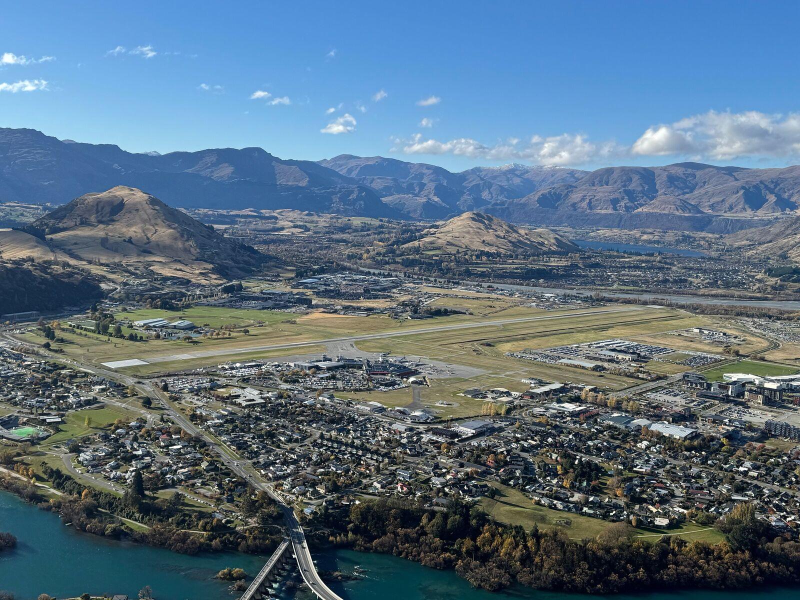 Getting around
Do you need a car in Queenstown?
Where the bus gets you, where it does not, and what a car, shuttle or tour costs instead.Checked 26 Sep 2026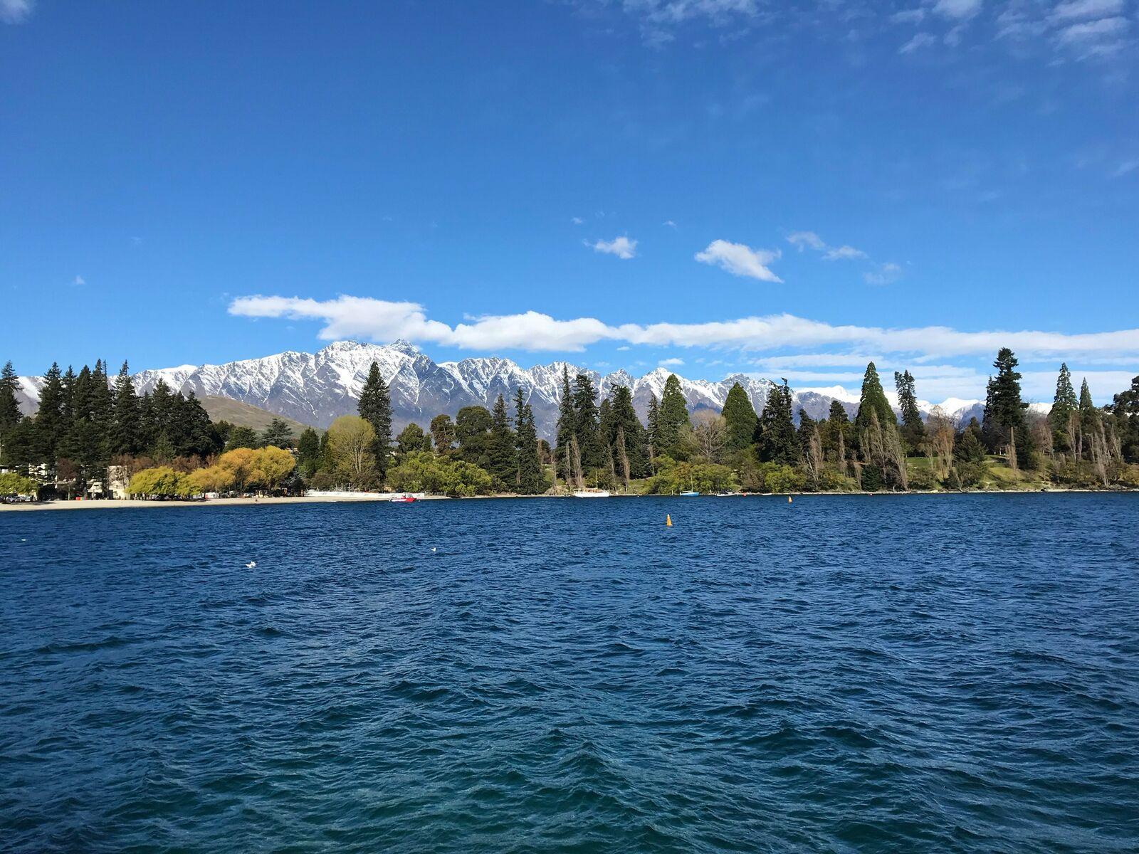 Planning
Free things to do in Queenstown
Twelve free things, and the $2.50 bus that gets you to each one.Checked 5 Nov 2026
Photographs are credited on each guide and on the photo credits page.
Sources: Info & Track, track transport timetable and FAQs (opens in a new tab), Info & Track, terms and conditions (minimum of two bookings to confirm a trip) (opens in a new tab), Glenorchy Community, how to get there (opens in a new tab), DOC, Bob's Cove Track and Nature Walk (opens in a new tab), DOC, Twelve Mile Delta to Bob's Cove Track (opens in a new tab), DOC, Mt Crichton Loop Track (opens in a new tab) and Destination Queenstown, scenic drives from Queenstown (opens in a new tab), retrieved 24 October 2026. Every source here was read again on 24 October 2026 and all of the road, track-bus and DOC track figures were unchanged. Distances are road-sign figures from Queenstown; tour prices were returned by the operator's booking partner on the date shown. This independent guide is published by Tally Sphere Limited, a New Zealand company. Spotted a change? Report a problem with this page and the page address comes with your email.